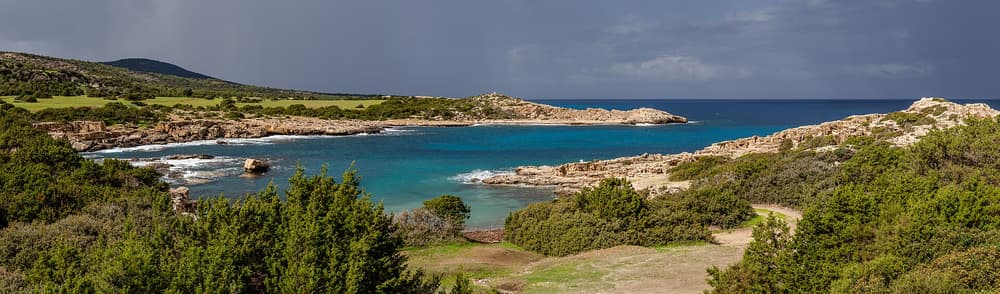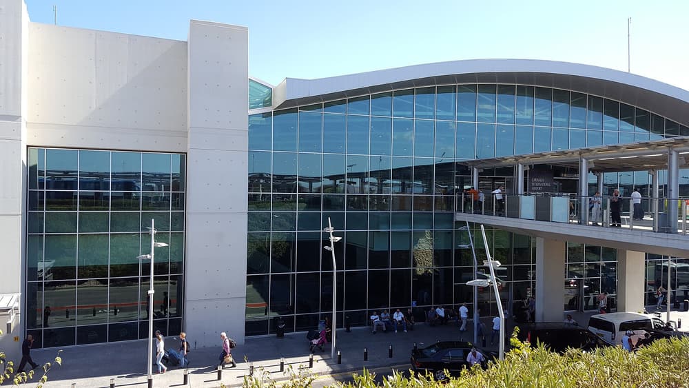
Almost every visitor arrives by air. Once on the island, distances are short: the south-coast motorway links Paphos, Limassol, Larnaca and Nicosia, and Ayia Napa is about 45 minutes beyond Larnaca airport.
Gateways by air
- Larnaca International (LCA) — the main airport, with flights from across Europe and the Middle East. About 10–15 minutes from Larnaca, about 45 minutes from Nicosia and Ayia Napa, about an hour from Limassol.
- Paphos International (PFO) — the western airport, popular with European budget and charter airlines; about 20–30 minutes from Paphos, 45 minutes from Limassol.
- Ercan in the north is served by flights routed via Turkey. If you arrive there, check the rules for later crossing to the south, which can differ from those for arrivals at Larnaca or Paphos.
By sea
Limassol and Larnaca handle cruise ships. Scheduled passenger ferries to the Republic of Cyprus are limited and change from year to year; ferries do link the north with the Turkish coast. Most visitors fly.
Getting around: buses
There are no railways in Cyprus. Intercity buses run frequently between Nicosia, Limassol, Larnaca, Paphos and Ayia Napa/Protaras, and are inexpensive. Each district also has local buses, and airport shuttles link both airports with the main towns. Timetables are reduced on Sundays and holidays; check them online before you travel. Rural and mountain services are sparse.
Driving
- Drive on the left; most hire cars are right-hand drive. Hire cars carry distinctive red “Z” number plates, which tells other drivers you are a visitor.
- Motorways (A1–A6) are good and toll-free; mountain roads in the Troodos are narrow and winding.
- Speed limits are posted in km/h; speed cameras are in use.
- Licences: EU licences are valid; many other national licences are accepted for visitors, but check whether you need an international driving permit.
- Dirt tracks (parts of the Akamas) are often excluded from rental insurance.
| From | To | Time | Route |
|---|---|---|---|
| Larnaca Airport | Larnaca centre | 10–15 min | B4 |
| Larnaca Airport | Ayia Napa / Protaras | 40–50 min | A3 |
| Larnaca Airport | Nicosia | 40–45 min | A3 / A2 |
| Larnaca Airport | Limassol | About 50 min | A5 / A1 |
| Paphos Airport | Paphos | 20–30 min | B6 |
| Paphos | Limassol | About 50 min | A6 |
| Limassol | Platres (Troodos) | 45 min–1 h | B8 |
| Nicosia | Kyrenia (north) | 30–40 min + crossing | Via Agios Dometios |
| Ayia Napa | Famagusta (north) | 20–30 min + crossing | Via Deryneia |
| Paphos | Ayia Napa | About 2 h 15 min | A6 / A1 / A3 |
Crossing to the north
Crossing points along the Green Line are open to visitors. Pedestrians cross in Nicosia at Ledra Street and Ledra Palace; drivers commonly use Agios Dometios / Metehan (Nicosia), Pergamos / Beyarmudu and Strovilia / Akyar (near Larnaca and Ayia Napa) and Deryneia. Bring a passport or EU ID card. Insurance from the south generally does not cover the north, so drivers buy separate cover at the crossing — and some rental companies do not allow their cars to cross at all. Rules can change; check your government’s travel advice before you go.
Taxis
Taxis are metered in towns; for long journeys agree the fare in advance. Many taxis are not allowed to cross to the north, or charge extra — ask first.
Without a car
A car-free trip is realistic: use Intercity buses between towns and day tours for the Akamas, the Troodos and the north. Coastal promenades and Cape Greco are good by bike. For bases near bus routes, see where to stay.